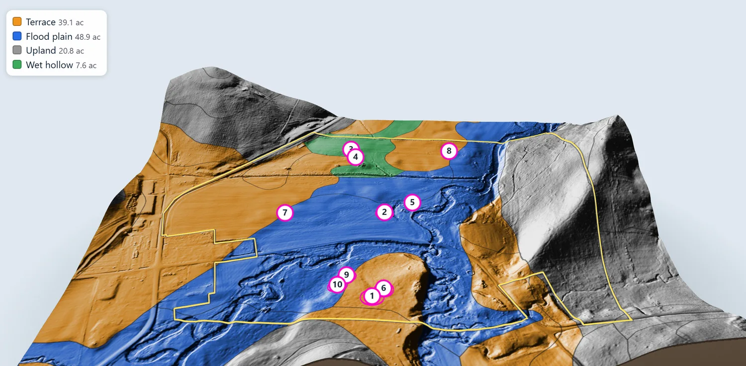
LiDAR ground maps
See the shape of the ground
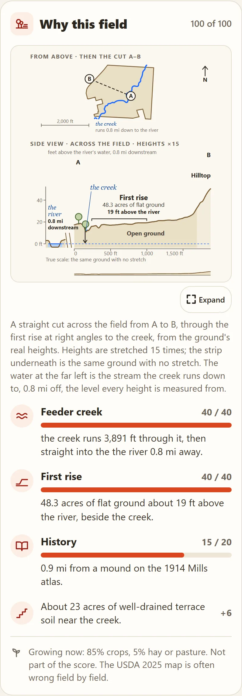
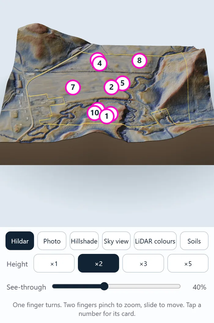
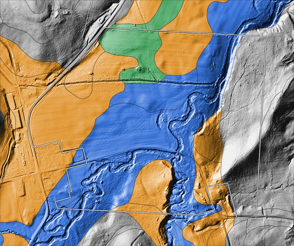
LiDAR is a laser scan made from aircraft. With the crops and trees stripped away, the shape of the ground shows. First Rise turns it into maps you can read at a glance, and in key counties the detail is down to half a metre (about 20 inches).
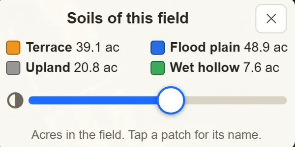
- Colours
- Hillshade
- Hildar
- Sky view
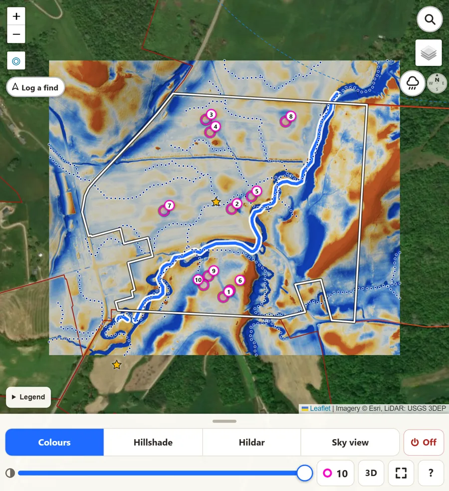
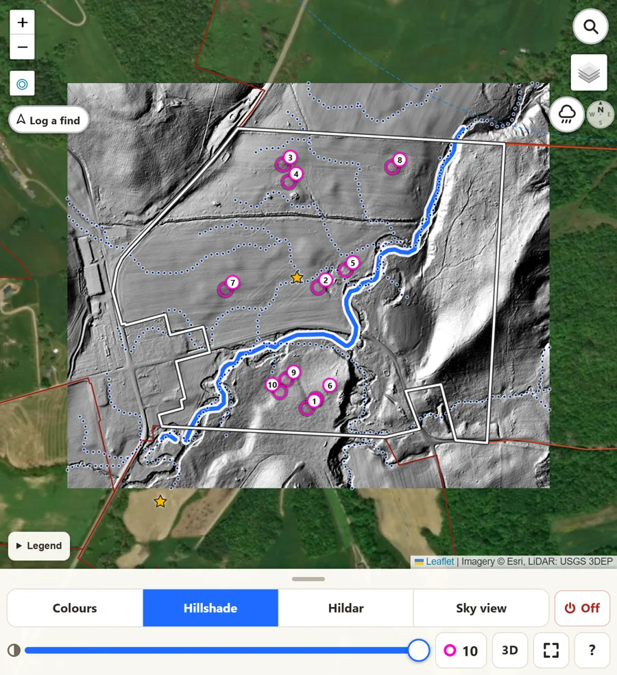
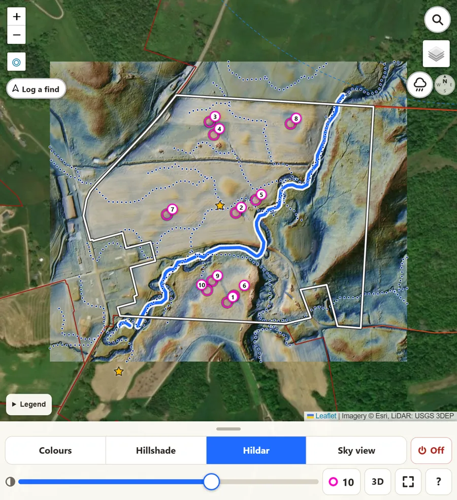
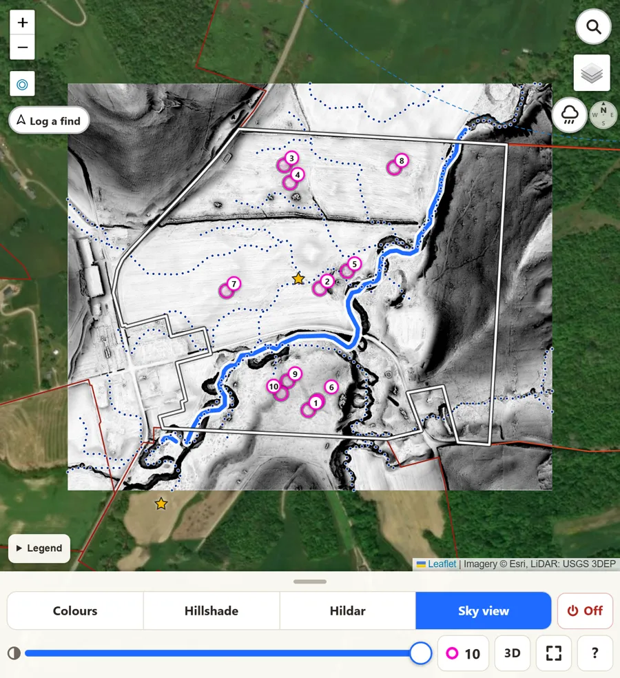
Swipe to see all four views of the same field.